Parhelion provides drone aerial Imagery for the construction industry in Switzerland
Aerial imagery can be an invaluable tool in marketing and monitoring the progress of construction projects in Switzerland, as it is elsewhere. This fact becomes more significant all the time, since Switzerland is growing and it seems that there is new construction everywhere these days. Projects both large and small dot the landscape in city and village.
Construction is a costly endeavor anywhere, but in Switzerland, with its very high cost of living, construction projects can only be described as serious undertakings. Whether the project is for private housing, rental units or commercial space, with so much money involved it makes sense to expend some effort, and perhaps some expense as well, to call attention to the project you have in hand. So, how do you make your location stand out from the rest?
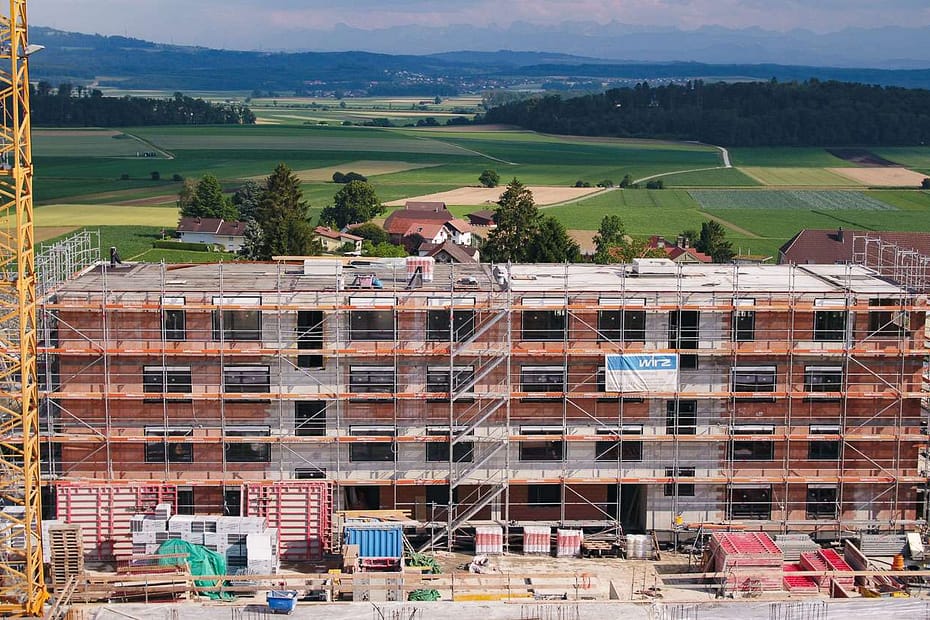
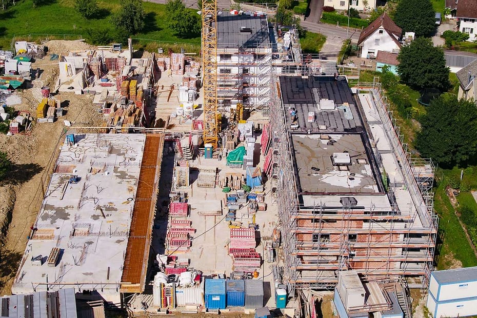
Parhelion solves this marketing problem for you by providing that ‘view from above’ that not only gives potential investors, buyers and renters a clear, informative look at your work in progress but that also presents a synoptic view that places your site in its surrounding setting. Nothing says ‘look what we are doing!’ like aerial imagery. A great shot from the air can, at one stroke, reveal your property’s size, state of development and setting.
Drone aerial imagery assists construction marketing and efficiency in several ways, some of which are:
– Helping construction project design teams to understand the real spatial arrangement of structures and their environment, from the pre-construction site review to project completion.
– Showcasing construction progress and the current state of building to investors and other stakeholders, during meetings and through printed and digital materials.
– Documenting safety and security at the worksite.
– Providing data about places that are difficult or dangerous for human inspectors to go to (such as towers and rooftops).
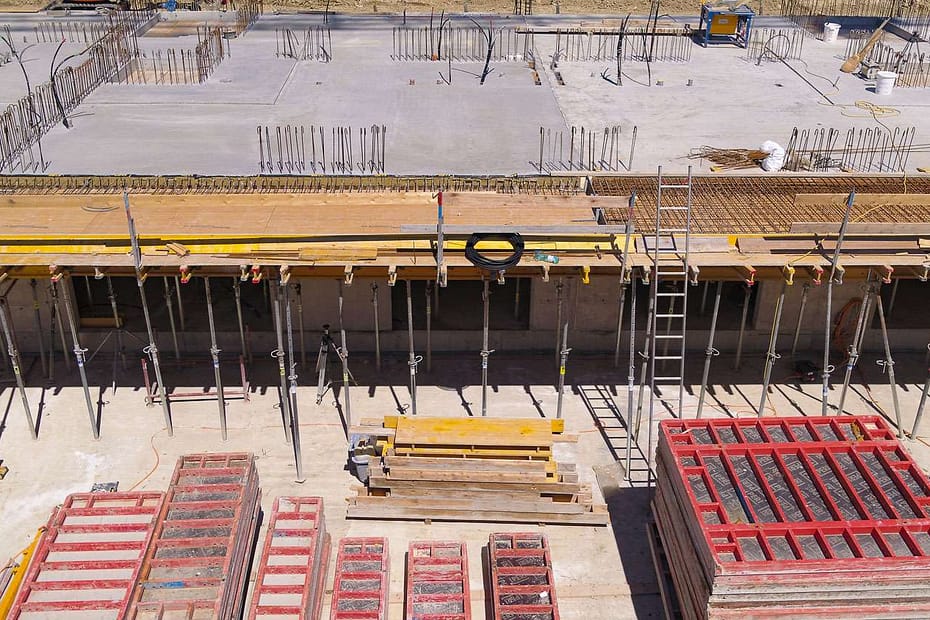
– Monitoring the locations and amounts of equipment and construction materials.
– Documenting the effects of severe weather events on the site.
Note that none of these purposes requires the validation of licensed surveyors, which would only add the cost of the service.
The traditional process for acquiring such imagery involved leasing an airplane or helicopter and its crew, and hiring a photographer or videographer. This presents you with certain problems: it is time consuming to arrange the flights and to coordinate personnel, and of course very expensive. We solve those problems for you in an easy, reliable way. The advanced drone technology that we employ will acquire the imagery you require at a fraction of the cost of using traditional aircraft, and is arranged with us with ease. By using Parhelion you save money, time and effort, and still the receive professional-quality aerial imagery that you require.
About aerial photography, in particular
At Parhelion, we provide drone aerial photography at 20.8 MP, in either 4:3 (dimensions up to 5280 x 3956 px) or 16:9 (dimensions up to 5280 x 2970 px) aspect ratios (photos can be cropped to your requirements, of course).
The uses of such imagery are numerous. From website photographs, color brochures, real estate publications and catalogues, to email advertisements and other information sent to prospective clients, the list of places in which you can add impact to your sales process by using aerial photographs is only limited by your imagination.
Contact us to discuss how aerial photography can solve problems for you. You will find it to be affordable and easy to arrange.
Quality Swiss construction, from above
About aerial videography, in particular
The use of aerial video in showcasing aspects of construction projects in Switzerland is important and growing more so every day. Many of the same value considerations that were stated above with respect to photography apply to videography; however with the added power that life and motion bring to catching attention and telling a story.
The video of your site is your voice, telling the story that you want to tell. The impact of such imagery on marketing, monitoring work progress and documenting safety issues and other aspects of the life of the project is difficult to overestimate. The flying camera can move around the construction site, even inside of finished or unfinished buildings, providing stakeholders, investors, clients and other interested persons with a viewing that is at once a substitute for being there in person and an opportunity to experience the property from viewpoints that would otherwise be impossible for them when visiting the place on foot. This is especially valuable when the interested parties live far from the site location (e.g. if there are foreign investors involved).
Parhelion provides top-quality professional grade video data. We fly the Inspire 2 professional-grade unmanned aircraft system with the X5S camera and a variety of high-quality Olympus and DJI lenses. All of our products can be color and exposure optimized and delivered to you ready to use. Video data are most commonly delivered as H.264, 4k Ultra-HD, but we can deliver Ultra-HD data up to 5.2K. Additionally, for those who require more post-processing flexibility we can supply un-colorized (D-Log), 10 bit, ProRes 422HQ data. Samples of our work are presented on this page; in fact, all of the images and video on all of the pages in this website are our own shots.
Contact us to discuss how aerial videography can tell the story that you want to tell. You will find it to be easy to arrange and affordable.
Click to return to the main aerial imagery page or to see our Tourism or Real Estate aerial imagery pages.


